Mila's AI Model Maps Canadian Wildfire Hazard Up to 3,400 Times Faster
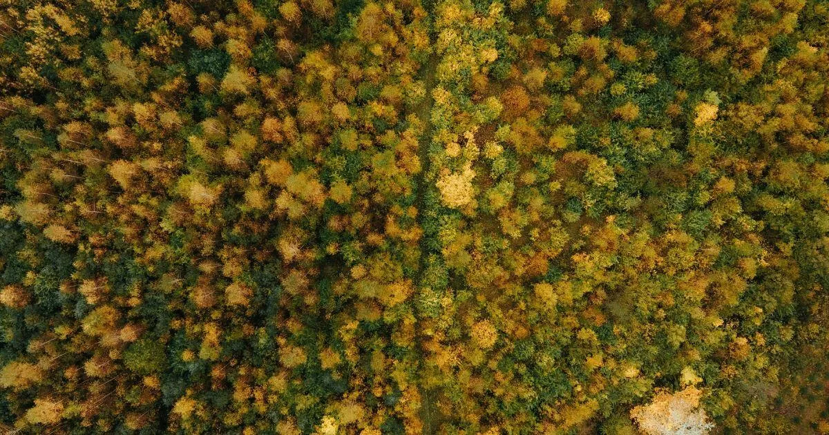
Mila and the Canadian Forest Service of Natural Resources Canada (NRCan) have developed an AI model that emulates the BurnP3+ fire simulator in seconds, running 806 to 3400 times faster depending on the hardware. A national hazard mapping task that took NRCan over a year could shrink to between 2 and 11 hours, according to Mila.
- Mila and NRCan built an AI model that emulates the BurnP3+ fire hazard simulator.
- According to Mila, it runs 806 to 3400 times faster, turning a one-year task into 2 to 11 hours.
- The model complements BurnP3+ and NRCan analysts rather than replacing them.
- Methodology, code and models are open source, and the next step is distribution to the BurnP3+ user community.
Why national fire hazard maps are so slow to produce
Wildfire seasons in Canada are growing longer, more intense and more destructive, according to Mila. The institute says the last four years have far exceeded the average burned area of previous decades, with nearly 15 million hectares burned in 2023, twice the size of New Brunswick. NRCan notes that the wildfire season could extend by more than a month by 2100 in certain forested regions.
Hazard mapping estimates how likely an area is to burn, and how intensely and quickly a fire would spread, based on weather, topography and vegetation. Mila stresses that hazard differs from risk, which arises when a hazard threatens people, property or economic activities. Authorities use the maps to plan long-term preventive work, such as creating firebreaks or planting less combustible vegetation, for example deciduous trees instead of conifers.
NRCan produces these maps with the BurnP3+ simulator, which is driven by the physical equations of fire behavior. To cover Canada at very high resolution, it has to simulate millions of individual fire ignitions under various weather conditions. The national hazard map for 2026 took NRCan teams over a year, and the previous one dated from 2017. Yan Boulanger, a forest ecology scientist at NRCan and the project supervisor, says maps need frequent updates, but given the time and computing involved, this is "almost unrealistic".
An emulator trained on BurnP3+ output
NRCan asked Mila's applied research team to test whether AI could accelerate the process. NRCan supplied the BurnP3+ simulation maps from this year's national mapping as training data. Mila scientists then worked with forestry experts to build a model that imitates BurnP3+.
According to Mila, the model runs 806 to 3400 times faster than BurnP3+, depending on the hardware. Tom Swystun, a modeling specialist at NRCan, says the emulator produces imperfect approximations, but with high fidelity and at far greater speed. He recalls that the first reaction to its speed was simply "wow".
The model also picked up spatial patterns on its own. Boulanger says it can predict that a lake in an area lowers the probability of burning because of its protective effect. Swystun adds that the risk of misinterpreting the model is rather low, since it reproduces what BurnP3+ does, only faster.
A complement to BurnP3+, not a replacement
Mila and NRCan are clear that the tool replaces neither BurnP3+ nor the expertise of NRCan analysts. Boulanger describes a workflow in which the AI model is used upfront to test several parameters, work that would take several months of computation with BurnP3+. Once a scenario looks very likely, analysts can calculate it precisely with BurnP3+.
The next goal is to distribute the tool to the BurnP3+ user community and run further tests to understand its capabilities and operational limitations.
Open source and what it means for Canada
The partnership between Mila and NRCan began in 2020 with a mining project and expanded from energy to Earth observation. The forestry project launched in the fall of 2025.
Mila says that by cutting computation time and cost, the model lets provinces, municipalities and industry partners target preventive land management investments better and protect populations and infrastructure. Because it was designed to fit the country's forestry information systems, Mila argues it gives the federal government an autonomous, long-term planning capacity, which it describes as strengthening Canadian sovereignty.
The methodology, code and AI models are open source, which Mila says allows research on this type of problem to advance and lets other countries or other environmental risk fields apply the approach. The code, models and paper are available through the project page.