DJI launches Matrice 5T enterprise drone with LiDAR and 1K thermal imaging
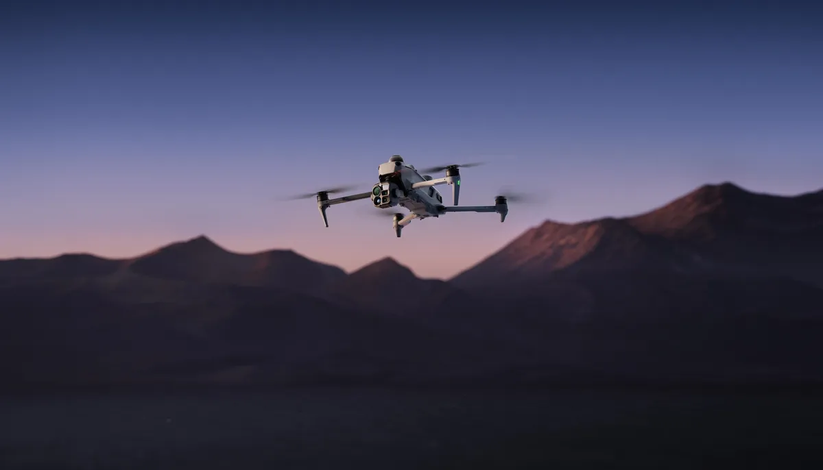
DJI has introduced the Matrice 5T, a compact enterprise drone combining LiDAR, mmWave radar, omnidirectional vision sensing, 1K thermal imaging and enhanced night vision. The company says the IP55-rated aircraft is designed for emergency response, inspections and surveying in difficult weather and low-light conditions.
- Matrice 5T combines LiDAR, mmWave radar and omnidirectional vision sensing.
- Its thermal camera has native 1K resolution and a 2560x2048 UHR mode.
- DJI says the drone can transmit up to 40 km and fly for up to 59 minutes.
- Onboard AI can detect more than 20 target types and support third-party models.
- The enterprise drone is available today from authorized DJI Enterprise dealers.
Thermal imaging and night operations
The Matrice 5T features an infrared thermal camera with native 1K resolution, or 1280x1024, which DJI says provides four times the pixel count of standard 640x512 sensors. Its UHR Infrared Image mode can increase resolution to 2560x2048, helping define heat anomalies against complex backgrounds.
The wide-angle camera uses a 1/0.98-inch sensor and an f/1.8 aperture. DJI says ISO sensitivity reaches 1,600,000, while AI low-light enhancement can produce full-color imagery in conditions as dark as 0.01 lux. A 50 MP medium telephoto camera provides 3x optical zoom for inspection work, while the telephoto camera offers monochrome night vision, 11x optical zoom and 176x hybrid zoom.
Sensing for difficult environments
DJI has combined LiDAR, mmWave radar and an omnidirectional vision system in the compact drone. According to the company, LiDAR can detect thin obstacles such as power lines up to 32 meters away at night, while mmWave radar helps the aircraft sense its surroundings through fog, rain and dust.
Full-color fisheye sensors support visual positioning in conditions as dark as 0.5 lux. The drone also fuses visual and radar data to map its surroundings in real time in weak GNSS environments, including deep canyons and areas around high-rises.
Onboard AI and extended transmission
Built-in AI models can analyze thermal and visible feeds in parallel and detect more than 20 target types, including vehicles and vessels. When connected to DJI FlightHub 2, operators can use text and image prompts to search for targets in DJI Pilot 2, and outline map areas to create patrol routes with actions such as hovering, image capture, video recording and audio broadcasting.
The onboard computing system also supports third-party models. DJI says its O4 Enterprise Enhanced Video Transmission System can transmit up to 40 km, compared with 25 km for the previous generation. Smart Relay and multiple relay topologies are intended to help overcome signal blockages caused by complex terrain during single and multi-drone operations.
Surveying, security and availability
Paired with DJI Terra, the Matrice 5T supports what DJI describes as centimeter-level surveying accuracy without ground control points. DJI Terra can create 2D thermal maps, read temperatures and mark anomalies, while the remote controller can process 200 photos in 8 minutes to generate local point clouds or 2.5D models.
The aircraft has an IP55 rating for dust and rain, a stated flight time of up to 59 minutes and an operating temperature range of -20° to 50° C. DJI says users must opt in to share photos and videos, while US-based users no longer have the option to sync flight logs with DJI servers. The Matrice 5T is available for purchase today from authorized DJI Enterprise dealers.